Montà
Montà | |
|---|---|
| Comuna | |
 | |
| Localização | |
 Montà |
|
| Coordenadas | 🌍 |
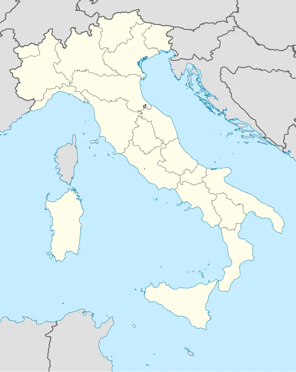
| País | Itália |
| Região | |
| Província | Cuneo |
| Características geográficas | |
| Área total | 26 km² |
| População total | 4,292 hab. |
| Densidade | 0,2 hab./km² |
| Outros dados | |
| Comunas limítrofes | Canale, Cellarengo (AT), Cisterna d'Asti (AT), Ferrere (AT), Pralormo (TO), Santo Stefano Roero, Valfenera (AT) |
| Código ISTAT | 004133 |
| Código postal | 12046 |
| Prefixo telefônico | 0173 |
| Sítio | www |
Montà é uma comuna italiana da região do Piemonte, província de Cuneo, com cerca de 4.292 habitantes. Estende-se por uma área de 26 km², tendo uma densidade populacional de 165 hab/km². Faz fronteira com Canale, Cellarengo (AT), Cisterna d'Asti (AT), Ferrere (AT), Pralormo (TO), Santo Stefano Roero, Valfenera (AT).[1][2][3]
Demografia
| Variação demográfica do município entre 1861 e 2011[3] |
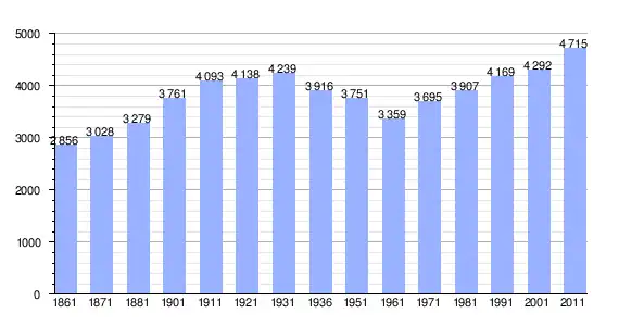 |
| Fonte: Istituto Nazionale di Statistica (ISTAT) - Elaboração gráfica da Wikipedia |
Referências
- ↑ «Statistiche demografiche ISTAT» (em italiano). Dato istat
- ↑ «Popolazione residente al 31 dicembre 2010» (em italiano). Dato istat
- ↑ a b «Istituto Nazionale di Statistica» 🔗 (em italiano). Statistiche I.Stat