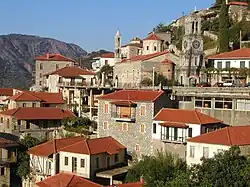
Langádia
Langádia
Λαγκάδια | |
|---|---|
| Localidade | |
 | |
| Localização | |
 | |
 Langádia |
|
| Coordenadas | 🌍 |
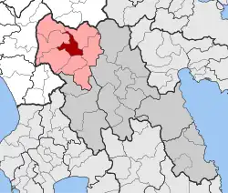
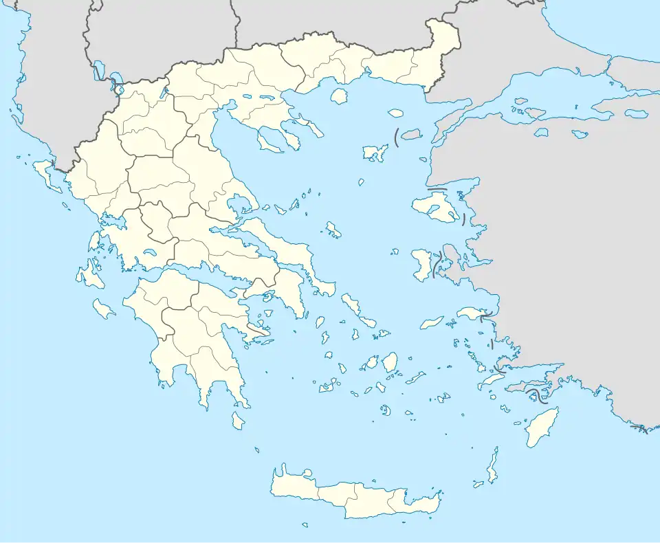
| País | Grécia |
| Região | Peloponeso |
| Unidade regional | Arcádia |
| Município | Gortynia |
| Características geográficas | |
| • Un. municipal | 79,745 km² |
| • Un. municipal | 636 |
| • Densidade un. municipal | 8 hab./km² |
| Código postal | 220 03 |
| Prefixo telefónico | 27950 |
Langádia (em grego: Λαγκάδια) é um vilarejo e unidade municipal na Arcádia, desde 2011 parte da municipalidade da Gortynia.[1] Tem área de 79,745 km2.[2] Sua população rural é de 355 pessoas, enquanto a da unidade municipal é de 636, conforme dados de 2011.[3]
Referências
- ↑ Ministério do Interior da Grécia. «Lei de Kallikatris» (PDF) (em grego)
- ↑ {{citar web|url=http://dlib.statistics.gr/Book/GRESYE_02_0101_00098%20.pdf |site=National Statistical Service of Greece |título=Population & housing census 2001 (incl. area and average elevation) |idioma=el |deadurl=yes |archiveurl=https://web.archive.org/web/20150921212047/http://dlib.statistics.gr/Book/GRESYE_02_0101_00098%20.pdf |archivedate=2015-09-21 |df= }
- ↑ «Απογραφή Πληθυσμού - Κατοικιών 2011. ΜΟΝΙΜΟΣ Πληθυσμός» Apografí Plithysmoú - Katoikión 2011. MONIMOS Plithysmós. Hellenic Statistical Authority (em grego)