Kreuzwertheim
| Kreuzwertheim | |
|---|---|
 | |
| Brasão | Mapa |

|
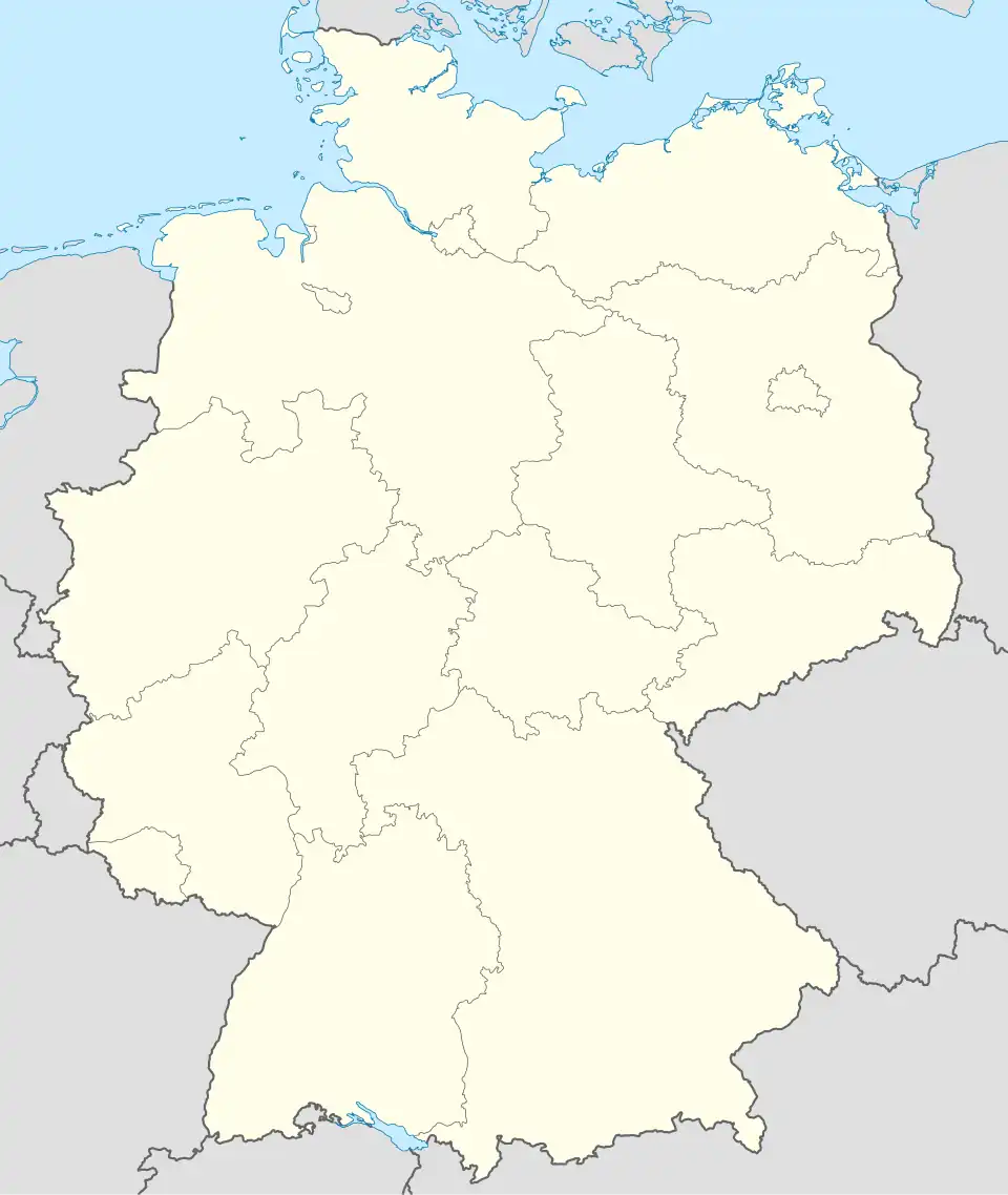 Kreuzwertheim Mapa da Alemanha, posição de Kreuzwertheim acentuada |
| Administração | |
| País | |
| Estado | Baviera |
| Região administrativa | Baixa Francónia |
| Distrito | Main-Spessart |
| Prefeito | Horst E. Fuhrmann |
| Partido no poder | CSU |
| Estatística | |
| Coordenadas geográficas | |
| Área | 20.04 km² |
| Altitude | 140 - 300 m |
| População | 3.729 (31 dez 2011) |
| Densidade populacional | 186 hab./km² |
| Outras Informações | |
| Placa de veículo | MSP |
| Código postal | 97892 |
| Código telefônico | 09342 |
| Website | sítio oficial |
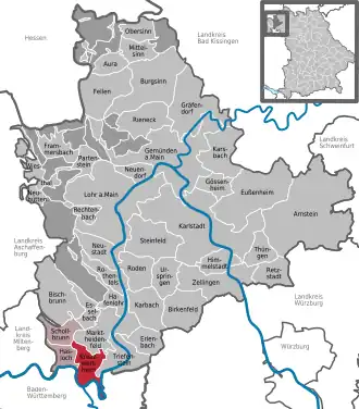
| Localização de Kreuzwertheim no distrito de Main-Spessart | |
 | |
Kreuzwertheim é um município da Alemanha, localizada no distrito de Main-Spessart, no estado de Baviera.[1][2]
Referências
- ↑ «Fortschreibung des Bevölkerungsstandes» (em alemão). Bayerisches Landesamt für Statistik und Datenverarbeitung
- ↑ «Statistisches Bundesamt – Gemeinden in Deutschland nach Bevölkerung am 31.12.2011 auf Grundlage des Zensus 2011 und früherer Zählungen» (em alemão). Einwohnerzahlen auf Grundlage des Zensus 2011