Bischheim (Alemanha)
| Bischheim | |
|---|---|
| Brasão | Mapa |

|
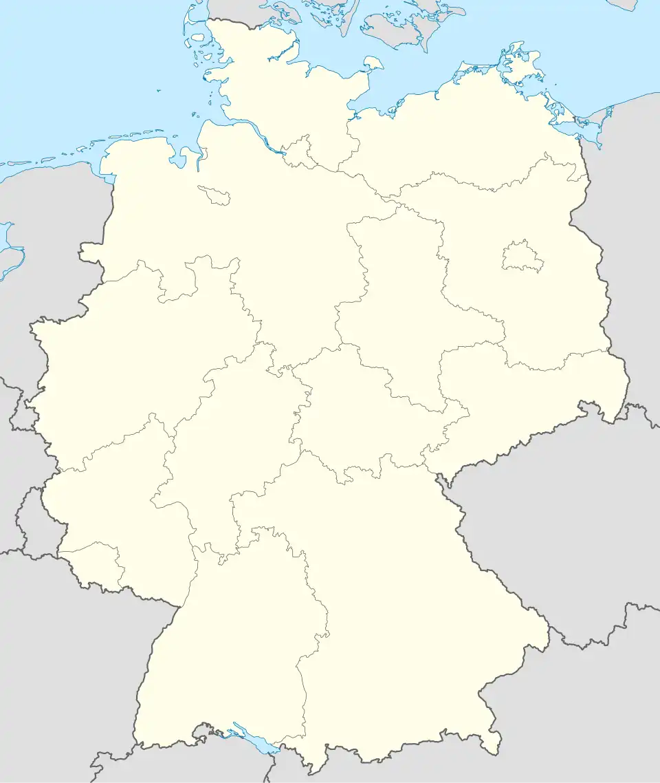 Bischheim Mapa da Alemanha, posição de Bischheim acentuada |
| Administração | |
| País | |
| Estado | Rheinland-Pfalz |
| Distrito | Donnersbergkreis |
| Associação municipal | Verbandsgemeinde Kirchheimbolanden |
| Prefeito | Horst Faber |
| Partido no poder | SPD |
| Estatística | |
| Coordenadas geográficas | |
| Área | 6.57 km² |
| Altitude | 224 m |
| População | 735 (2006-12-31) |
| Densidade populacional | hab./km² |
| Outras Informações | |
| Placa de veículo | KIB |
| Número oficial de comunidade | 07 3 33 007 |
| Código postal | 67294 |
| Código telefônico | 06352 |
| Website | sítio oficial |
| NUTS | DEB3D |
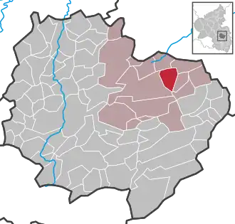
| Localização de Bischheim no distrito de Donnersbergkreis | |
 | |
Bischheim (Alemanha) é um município da Alemanha localizado no distrito (Kreis ou Landkreis) de Donnersbergkreis, na associação municipal de Verbandsgemeinde Kirchheimbolanden, no estado da Renânia-Palatinado.[1][2]
Referências
- ↑ «Statistisches Landesamt Rheinland-Pfalz – Bevölkerung der Gemeinden am 31. Dezember 2010» (PDF) (em alemão). Statistisches Landesamt Rheinland-Pfalz
- ↑ «Statistisches Landesamt Rheinland-Pfalz – Amtliches Verzeichnis der Gemeinden und Gemeindeteile» (PDF) (em alemão). Statistisches Landesamt Rheinland-Pfalz